Digital Twin for Urban Planning: How Smart Cities Use It?

Imagine a city where you can see everything happening on the streets in real-time. In this city, you can find exactly where a pipe starts leaking and deteriorated roads before they pose a risk to its citizens. This is not a movie or science fiction. It’s a technology that is already within reach and is known as a digital twin for urban planning.
McKinsey research suggests that already 70% of CEOs of large enterprises are exploring and investing in this technology. A digital twin smart city can detect energy-saving opportunities or the effect of a new property before construction by integrating with AI and IoT. Cities like Singapore and Helsinki have already adopted digital twin technology to reduce their carbon footprint and improve public services.
In this blog, we will explore what a digital twin for urban planning is and why cities are adopting digital twin technology in greater depth.
What Is a Digital Twin in Urban Planning?
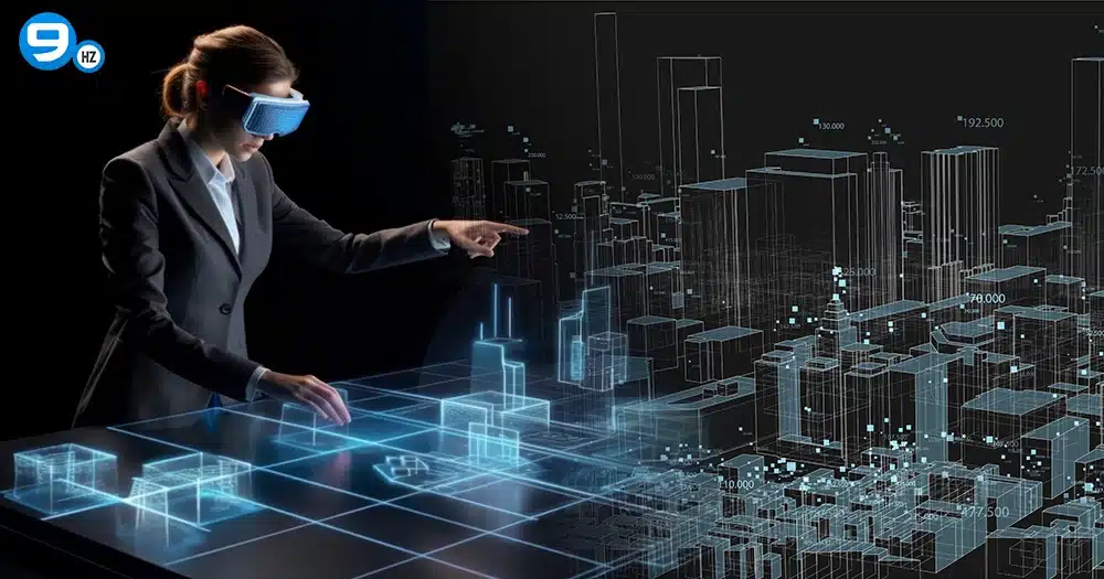
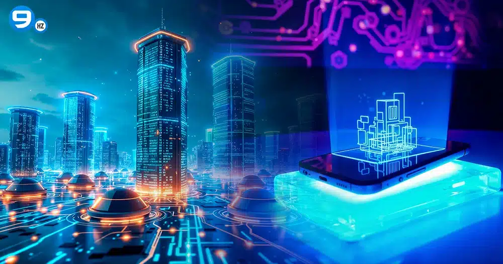
A digital twin of a smart city is the virtual representation of a city’s environment that replicates its real-world counterpart’s or physical twin’s behaviour. It lets policymakers and urban planners simulate, monitor, analyze, and improve various aspects of urban life. The digital twin city updates itself in real-time to reflect the changes in the original version.
For example, Google Maps is a digital twin of the transportation system. Maps collect real-time data from various phones and vehicles to adjust your route and enable you to reach your destination quickly. Similarly, a digital twin for urban planning collects real-time data from the city’s water systems, energy grids, and infrastructure to facilitate better decision-making.
Core Concept:
A smart city digital twin is created using real-time data and simulations collected from IoT sensors, drones, cameras, and other monitoring devices. It also receives information from individuals, vehicles, buildings, and infrastructure. Cloud platforms, AI, and advanced analytics tools will augment every detail and process it.
The digital twin technology will then simulate “what-if” scenarios to provide valuable insights about the city and predict future outcomes. This helps city planners in identifying and resolving issues proactively. Digital twinning enables them to foresee the impact of proposed changes and implement strategies that improve infrastructure and resource management.
Digital twin vs 3D city model, GIS, and BIM
Two concepts inspired the growth of the city digital twin technology. One of them is spatial informational tools like GPS and GIS. The other concept is BIM in the AEC industries.
That’s why many assume that a smart city digital twin is similar to a 3D city model, GIS, and BIM. While a digital twin shares similarities with these, it is important to understand what aspects differentiate it from the rest.
A 3D model is just a digital representation and a static replica of a smart city. In contrast, a digital twin dynamically updates with respect to real-world environmental changes and sensor inputs.
The digital twin technology is built on the foundation laid by the Geographic Information System. However, a GIS cannot reflect real-time changes happening in the city, like a city’s digital twin.
Building Information Modeling (BIM) is static and mainly used for the design and construction stages of a project. On the other hand, the digital twin concept is used during the building maintenance and operation stages.
Here’s a comparison of how they differ across key aspects:
| Aspect | Digital Twin | 3D City Model | GIS (Geographic Information System) | BIM (Building Information Modeling) |
|---|---|---|---|---|
| Primary Purpose | Maintenance and operations during the management phase | Used during the planning and visualization stage | Used for spatial analysis and management | Design and construction phase |
| Real-time integration | Constantly receives data from sensors and IoT | Optional | No real-time integration. Works with organized data sets at specific time intervals | No real-time integration needed |
| Scope and Scale | Broader range. Represents cities or ecosystems | City-wide or district-level urban environments | Ranges from neighborhood to national or global scale | An individual building or infrastructure asset level |
| Cost and Maintenance | Higher than other models, as it requires continuous sensor networks and a real-time data infrastructure | Moderate level. Initial high creation cost and requires periodic updates | Moderate. Cost depends on data collection and maintenance | Moderate to high. Requires specialized software and expertise |
| Example Applications | Traffic optimization in smart cities, building energy management, and real-time monitoring | Urban planning visualization and architectural design context | Land use planning, infrastructural mapping, and environmental impact studies | Building design, clash detection, and construction planning |
Real-time integration is what makes the digital twin for urban planning more powerful when compared to other technologies. Many modern cities are now using digital twin technology in integration with BIM and GIS to accelerate innovation and efficiency.
Why Cities Are Adopting Digital Twins
The digital twin market is expected to reach $149.81 billion by 2030, up from $21.4 billion in 2025. Before urban digital twin solutions, city planners and operations teams had to make decisions based on static 2D maps, outdated reports, and manual inspections. They weren’t able to make informed decisions and had to wait until something broke or became problematic.
City development team faced challenges like aging infrastructure, increasing population, and decreasing budgets. Long-term infrastructure planning is difficult due to unforeseen changes in how cities operate. For example, an industrial region can be transformed into a residential area, creating service gaps.
At first, infrastructure systems like water, transport, and energy grids were built to operate independently. These utilities didn’t work together, resulting in inefficient and suboptimal solutions. Digital twin for urban planning solved these problems by letting city officials simulate changes and identify issues beforehand.
Now, let us take a closer look at the advantages of the smart city digital twins.
Smarter planning & scenario simulation
The digital twin for urban planning enables planners to experiment and address issues like climatic resilience in a controlled environment. It also helps improve planning activities such as public engagement and zoning, boosting engagement with citizens and communities.
Deployment of ICT (Information and Communication Technology), sensors, and IoT throughout the city allows planners to collect every detail from all corners. When combined with analytical tools and AI, this data can be used to digitize cities.
Digital twins for cities facilitates to test ideas quickly and adjusting them accordingly before taking a final decision. It allows faster and better communication with other city departments.
Planners can reduce risks and uncertainties using scenario planning and simulation features of digital twin solutions.
Cost efficiency
A report by ABI Research suggests that cities can save upto $280 billion by 2030 by using a digital twin for urban planning.
Cost savings can be attained in areas such as transportation, infrastructure, energy and utilities, and safety and security.
Smart cities digital twin reduces infrastructure maintenance costs by up to 25%, according to PatentPC.
By using digital twin technology, the power consumption of the Siemens Munich building lowered by 30% with a rise in passenger comfort.
Sustainability, climate resilience & disaster readiness
Sustainability is one of the best things about using a digital twin for urban planning. They can make cities greener by monitoring pollutants and cutting carbon emissions.
For example, Singapore used digital twin technology to monitor and control energy use in various buildings. As a result, they reduced their energy consumption by 20% and greenhouse gas emissions.
Rotterdam’s digital twin enabled city planners to identify vulnerable flood locations, and they’ve built flood-resistant buildings using simulations.
The city is also experimenting to adapt to changing climate conditions and the increase in sea levels in the long-term.
A smart city digital twin can be used to simulate disaster scenarios like earthquakes to strengthen infrastructure and lower risks.
How a City Digital Twin Is Built
To build a city digital twin, planners or policymakers have to collect data from all over the city with sensors. It includes information like noise, air pollution from various sources like satellite imagery, LiDAR, IoT, and other utilities.
A 3D map of the city is made by combining all the different sets of data. Once they have the base, planners can experiment and analyze the environment.
For example, a neighborhood can be turned into new buildings or windmills, and analyze how they perform and the effects this plan can have on the city. If the results of an analysis are acceptable, the digital twin for urban planning can be implemented.
High-quality data collection is the foundation for a digital twin city. Let us explore the data sources in detail.
Data sources (IoT, LiDAR, satellite, traffic, utilities)
City planning departments can place IoT devices throughout the city, such as at air quality monitors, traffic counters, and CCTV feeds. These sensors will continuously send real-time data like temperature, energy consumption, and vehicle movements to the city digital twin platform. Without IoT sensors, an urban digital twin is a static 3D model that doesn’t dynamically update.
LiDAR (Light Detection and Ranging) is a tool that captures highly accurate data about the physical form of the city. It generates laser pulses and makes a precise 3D model measuring the reflection time. LiDAR offers centimeter-level accuracy and works well in all lighting conditions.
Satellite and high-resolution aerial imagery help to get a macro-level view of the city and is highly useful in environmental monitoring.
It includes:
- Multispectral
- Hyperspectral
- thermal imagery
Vehicle-mounted sensors and GPS tracking can track:
- traffic flow
- congestion points
- travel times
Integrating this data lets a digital twin for urban planning to optimize traffic and reducing congestion.
Core technologies & platforms
After collecting data from all sources, integrate them using powerful technologies like GIS, BIM, AI, and cloud platforms to build an urban digital twin.
GIS: Geographic Information System is the spatial backbone of the digital twin for urban planning. It positions maps, utilities, and roads accurately in the virtual 3D model. While GIS is useful for city-wide data-handling, it is not suitable for building-level details.
BIM: Building Information Modeling models, like Industrial Foundational Classes (IFC), will store the following details:
- Building geometry
- MEP systems
- Materials
Unlike GIS, BIM provides microlevel details.
CityGML: CITYGML is an XML-based international model for 3D city models.
It includes:
- Transportation networks
- Terrains
- Buildings
- Waterbodies
- Vegetation
This data standard enables easy data sharing between cities or platforms.
Cloud: Cloud provides scalable storage and helps process the datasets generated by urban digital twins. It enables real-time analytics and simulations.
The tools listed below will centralize this data:
- Microsoft Azure Digital Twins
- AWS IoT TwinMaker
- Google Cloud
AI & ML: Artificial Intelligence and Machine Learning help make sense of this incoming data.
They are used to conduct:
- Demand forecasting
- Behavioral predictions
- Anomaly detection
- Environmental simulations
Generative AI is used to automate 3D modeling and help have conversational interactions with the urban digital twin. ML is used to keep the digital twin city updated and improving itself.
Data governance, privacy & security
Although a digital twin for urban planning is a powerful concept, it becomes a liability without proper governance, privacy, and security.
Pro-tips for data governance, privacy, and security:
- Without governance, the city digital twin may quickly become outdated.
- Clearly define standards, access rules, update cycles, and data ownership.
- Comply with data regulation policies like GDPR, HIPAA, and CCPA.
- Implement Multifactor authentication and the least privilege principle
Key Urban Planning Use Cases of Digital Twins
Digital twin solutions for urban planning can solve problems such as:
- land-use decisions
- traffic congestion
- aging infrastructure
- climate risks.
Cities from all over the world, like Boston, Singapore, and Barcelona, have achieved measurable results with this technology.
Let us explore key urban planning use cases of digital twins.
Land-use planning & zoning simulations
Smart city digital twins can transform land-use planning and zoning decisions using virtual scenario testing before implementation. In Boston, urban planners model the new developments of the city using digital twinning. Instead of relying on community feedback, they simulate different plans and show how they would affect noise and air quality.
Transportation & traffic management
According to a report, on average, U.S. drivers spent 43 hours stuck in traffic, which is equivalent to a full work week, costing them $771. Traditional traffic plannings have no access to real-time data and cannot adjust to growing traffic. Though sensors, IoT, and GPS are already in place, smart cities need an adaptive tool.
That’s where the digital twin for urban planning enters. They bring sustainability, safety, and mobility to the existing system. A smart city digital twin enables planners to simulate and test various “what-if” scenarios. This results in citywide contingency planning and data-driven traffic management.
Infrastructure & utilities planning
Infrastructure management becomes challenging with aging infrastructure. With the traditional methods, it is not possible to foresee any breakdowns or inefficiencies. Management of infrastructure includes oversight and optimization of facilities like utilities, public services, and transportation networks.
By leveraging the analytical power of a digital twin for urban planning, planners can predict potential breakdowns optimizing energy consumption. They serve as ground for testing and validation, improving design efficiency.
Environmental modelling (floods, air quality, heat maps)
An urban digital twin city allows planners to assess how new projects will affect ecosystems and biodiversity. With this information, they can make informed decisions that safeguard vulnerable wildlife.
By combining the real-time data, a smart city digital twin can help identify regions where there is excessive air pollution. Planners can divert traffic to areas where traffic is comparatively lower with the help of this information.
A digital twin for urban planning can help city planners to prepare for disasters. It can help simulate disasters and support informed decision-making.
Real-World Examples: How Smart Cities Use Digital Twins
There is a rapid transformation of how cities are managing data, infrastructure, and services. Around 70% of large cities in the world are expected to adopt city digital twins.
Here are some of the real-world examples that have adopted digital twins for urban planning.
Virtual Singapore — national-scale digital twin

Singapore Land Authority undertook a project to create the world’s first digital twin of a country, and this initiative is known as Virtual Singapore.
They used vehicles with lasers and aircraft that can scan lasers to create a 3D model of Singapore. At its core, Virtual Singapore is a data-rich smart city digital twin. It integrates real-time data from buildings, environmental factors, population movements, and more.
The objectives of the digital twin for urban planning in Singapore are:
- Sustainable urban development
- Efficient infrastructure management
- Enhanced disaster preparedness
- To develop applications to improve the city’s services
Helsinki 3D+ — open data–driven city digital twin
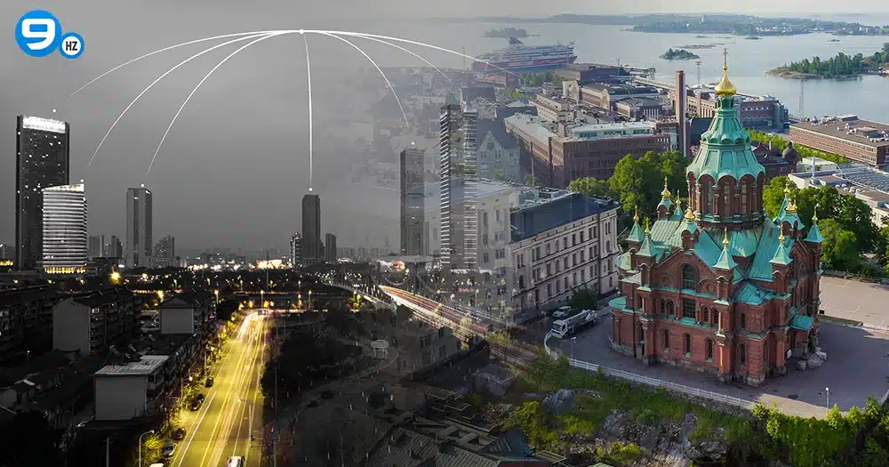
Helsinki 3D+, a project launched in 2014 to create the digital twin city of Helsinki, by Finland’s government, to meet the goal of being carbon neutral by 2035.
Laser scanning and oblique photogrammetry are used to capture data and images for the project. This initiative features an open data policy that makes the 3D city model accessible under the Creative Commons Attribution 4.0 (CC BY 4.0).
This open data policy of Helsinki digital twin:
- Democratized urban planning
- Multiplied the innovation potential
- Built public trust through transparency and enabled community-driven solutions
- Maximed returns on public investment, where citizens can scrutinize decisions
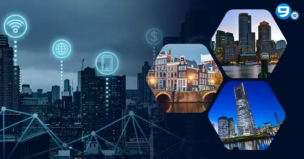
US & global city examples (Boston, Amsterdam, Melbourne)
Boston Planning and Development Agency developed Boston’s digital twin on a 3D GIS-based city model. They used Esri technology to visualize and analyze the impact of digital planning. Boston evolved from physical wooden models to support data-driven, informed decision-making.
The model comprises parcels, zoning, sea-level rise projections, and CAD imports for simulations. Research extensions like the Boston Twin dataset apply it to 6 G-ray tracing simulations.
Amsterdam’s digital twin,n also known as Amsterdam 3D, was developed by the city’s planning and sustainability department. It is a virtual replica for city planning, data visualization, and simulations.
The platform collects geospatial data and real-time inputs to optimize water management and to assess environmental impact.
Melbourne’s digital twin initiatives are focused on Digital Twin Victoria, backed by the Victorian government. It brings together 2D, 3D, and live data to a virtual replica for city planning and visualization.
Challenges Cities Face (and How They Overcome Them)
Though digital twins have several advantages, they come up with a set of challenges to be addressed while developing and executing. Let us explore the drawbacks and challenges of urban digital twins.
Digital twins require timely and precise data to function accurately. For real-time integration, the platform needs to get data from several sources at the same time. This makes it difficult to maintain data quality. In addition, silos can slow down the process of data retrieval.
Modern technologies like urban digital twins need software, hardware, sensors, cloud processing tools, and skilled professionals.
This requires a heavy capital investment.
Integration with legacy systems makes this complex and expensive to scale.
The public may have privacy concerns about the vast collection of real-time data.
This could result in a lack of public trust and may lead to the failure of the project.
When there is no clear governance framework, departments can lack coordination.
How The NineHertz Can Help with Digital Twin Solutions
With digital twin solution providers like The NineHertz, you can be confident that your infrastructure vision will become a reality.
The NineHertz is known for providing tailored digital twin solutions that can target a specific city and infrastructure. We know that every city zone, building, or energy network has its own needs. The NineHertz promises dependability and accuracy at every stage of the project. It can be as simple as a traffic monitoring system or as complex as a full-fledged platform.
We help turn your infrastructure into smart environments that operators and stakeholders trust. Whether you’re a city planner or a facility manager, partnering with The NineHertz, helps ensure public safety and sustainability with its robust solutions.
Key Takeaway for Urban Planners:
Digital twins are changing the way smart cities work. They are becoming more efficient, environmentally friendly, and sensitive to the demands of their residents.
Digital twins will improve and change urban life with advancements in virtual reality, blockchain, and artificial intelligence. The way cities are using digital twins now will shape the cities of the future. City planners shouldn’t miss out on this technology, as it lets citizens explore the proposed changes and provide feedback.
FAQs
1. How is a city digital twin different from a 3D city model?
A city digital twin is a dynamic and data-driven virtual replica that updates itself in real-time. A 3D city model is a static representation of the city.
2. How much does it cost to build a city digital twin?
The cost of building a smart city digital twin ranges from hundreds to thousands of millions of dollars. Usually, the cost depends on the size of the city and the desired features.
3. Can small or mid-sized cities use digital twins?
Yes. Small or mid-sized cities can use digital twins with specific use cases like infrastructure planning and climate resilience.
4. How do digital twins help with climate resilience?
A digital twin can simulate climate conditions, foresee environmental impact, and improve resource management. They help cities to face disasters and respond well to climatic changes.
5. What data is required to create a smart city digital twin?
IoT sensor feeds, traffic patterns, utility networks, and environmental metrics.
6. Are digital twins safe from a privacy standpoint?
Data anonymization, encryption, and strict access controls enable digital twins to maintain privacy and security.
Great Together!
Latest Blogs
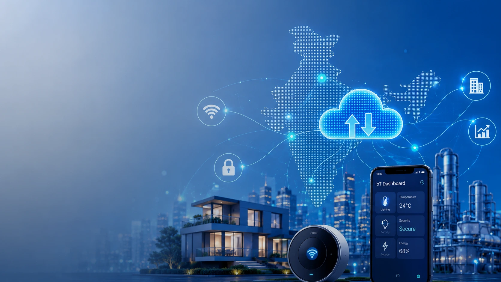
15 Best IoT App Development Companies In India
Key Takeaways IoT App development companies in India are progressing fast and serve a global client base. Their clients are…
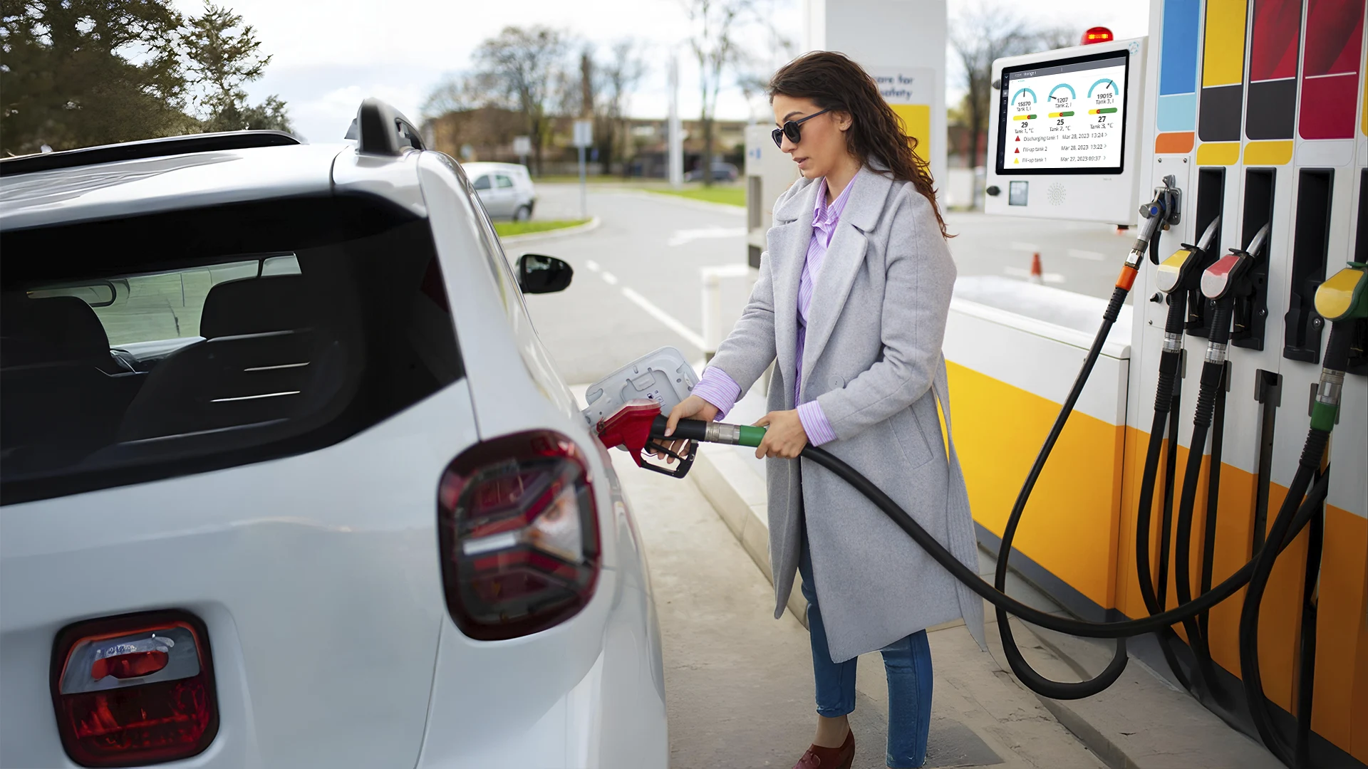
Fuel Monitoring System Development: Cost, Features & ROI
Key Takeaways Fuel monitoring systems can help fleet-based companies reduce their fuel theft, loss, and inefficiencies through real-time tracking and…
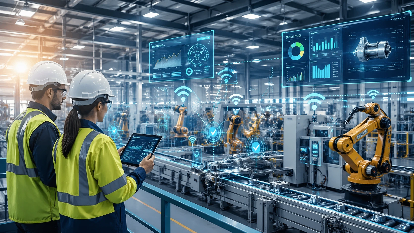
How Can IoT Devices Minimize Downtime in a Manufacturing Plant
Key Takeaways The global market for IoT in the manufacturing industry is estimated to reach $286.3 billion by the year…